- Grade: C-
- Length: 10 km
- Duration: 4.5 hours
- Height gain: 300 m
- Extension Option n/a
Start Point: Halla le Chéile OS Map Q517139
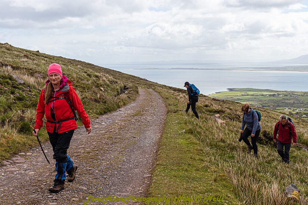
A short walk on the road will bring us to our start point at Teer and we follow the Dingle Way for 2 kms before branching of in a Northerly
direction on a path over bogland towards Sás Creek. We then walk along the top of the cliffs
looking down on the impressive views below.
Leaving the cliff track to make our way to the abandoned settlement of Arraglen where we
return along the Dingle Way to Teer