- Grade: B
- Length: 13.5 km
- Duration: 6 hours
- Height gain: 900 m
- Easier D Option@ return from Teer to start point.
Start Point: Brandon Point @ O.S. Map 70 Q 526 173
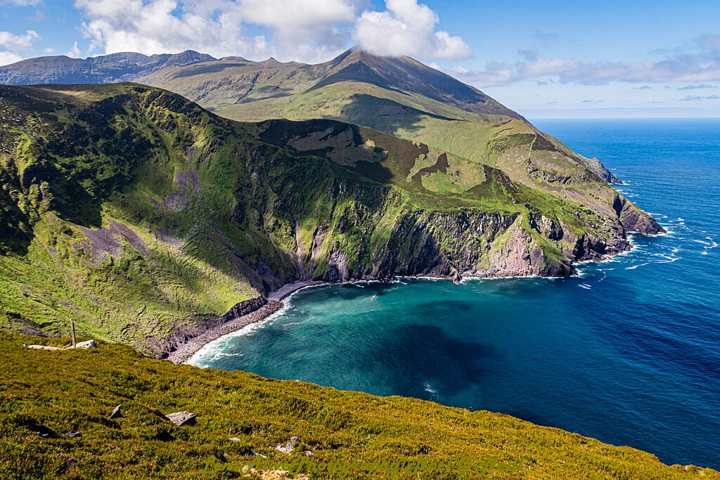
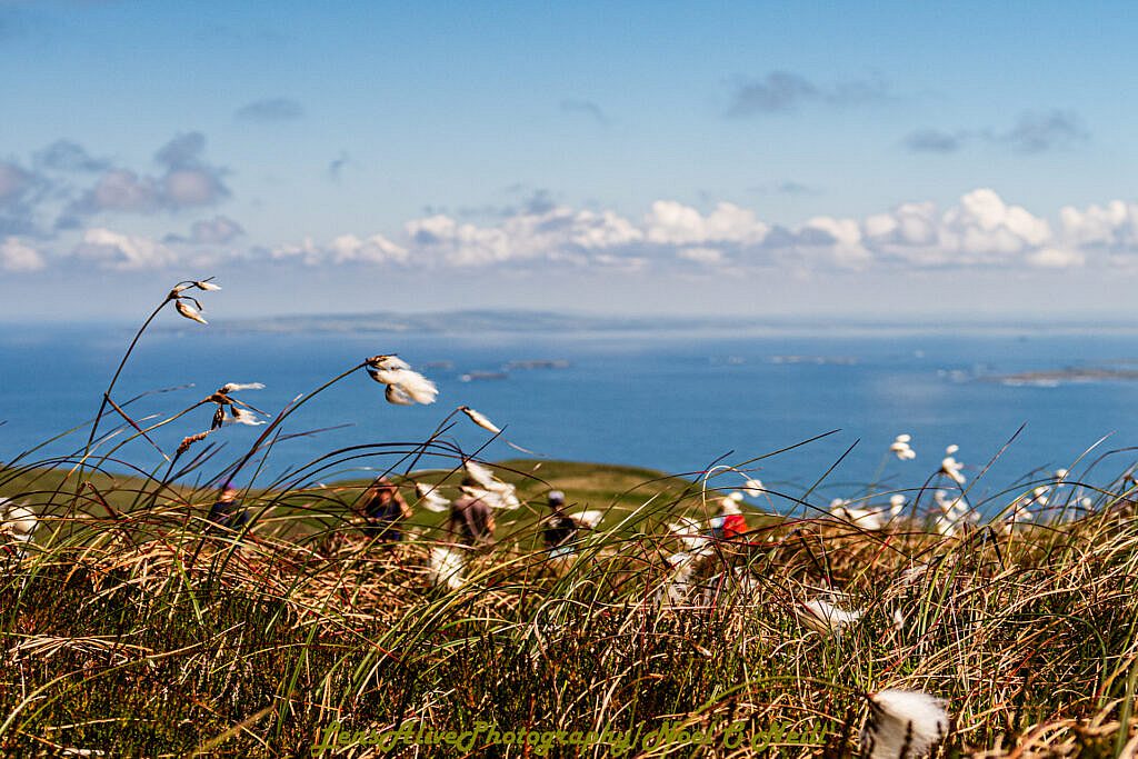
We leave Brandon Point car park on a westerly direction, then s/w direction with a gradual ascent. As we reach our first saddle, we leave the Sás waymarked trail and follow a wide spur to reach Sás creek. The views here are spectacular. A further 1½km, we reach Arraglen village and follow the Dingle way s/w for 800m. It is at this point we attack Masatiompain which will be a difficult and steep ascent of 350m. From Masatiompain, we drop to the saddle and the ogham stone. Here we follow the Dingle way back to teer car park.
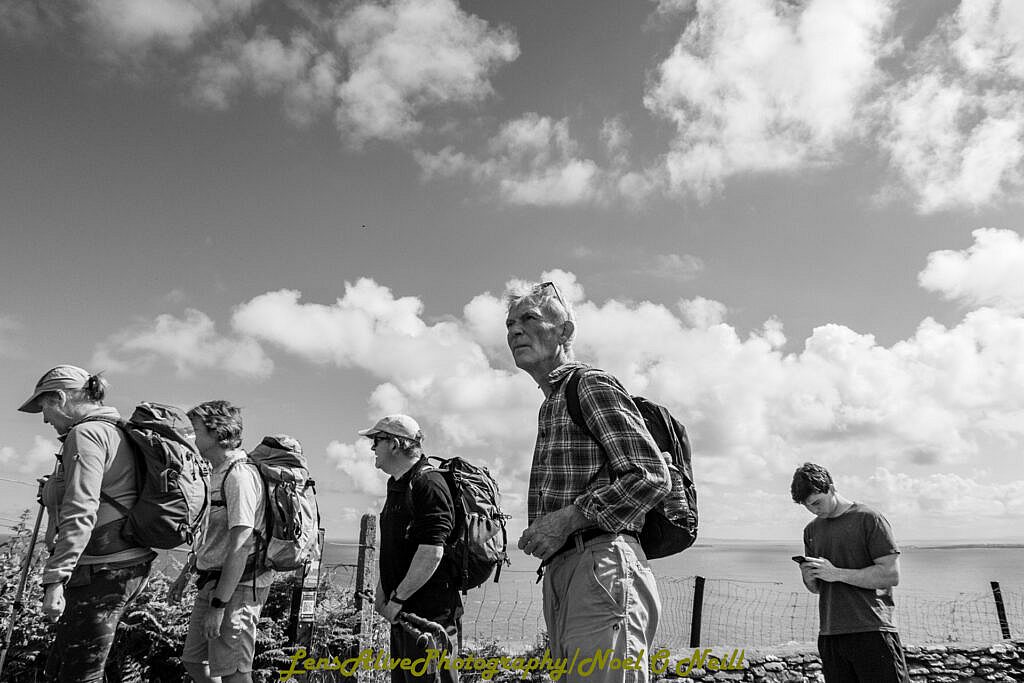
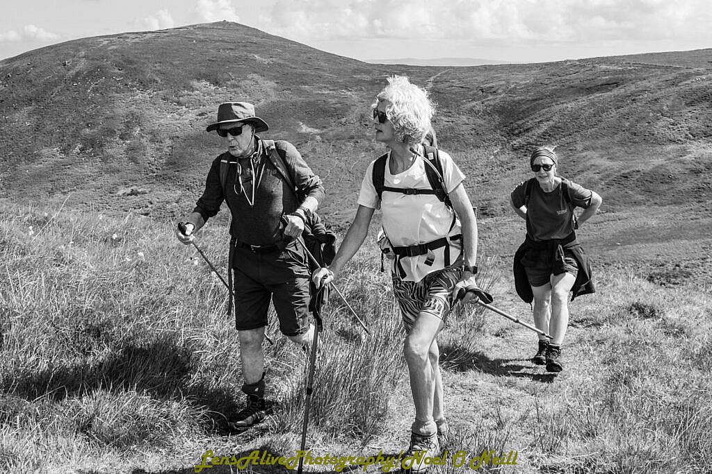
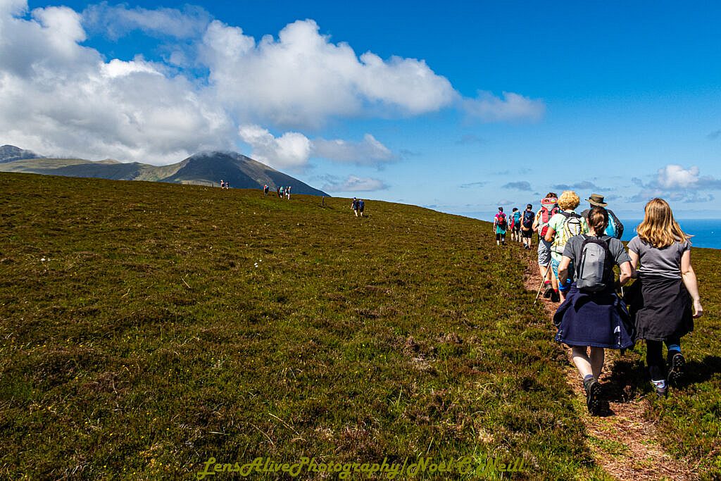
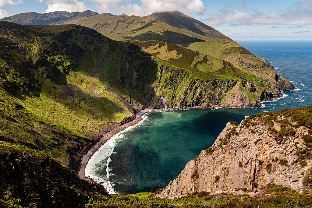
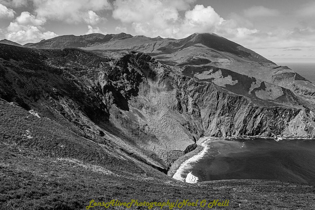
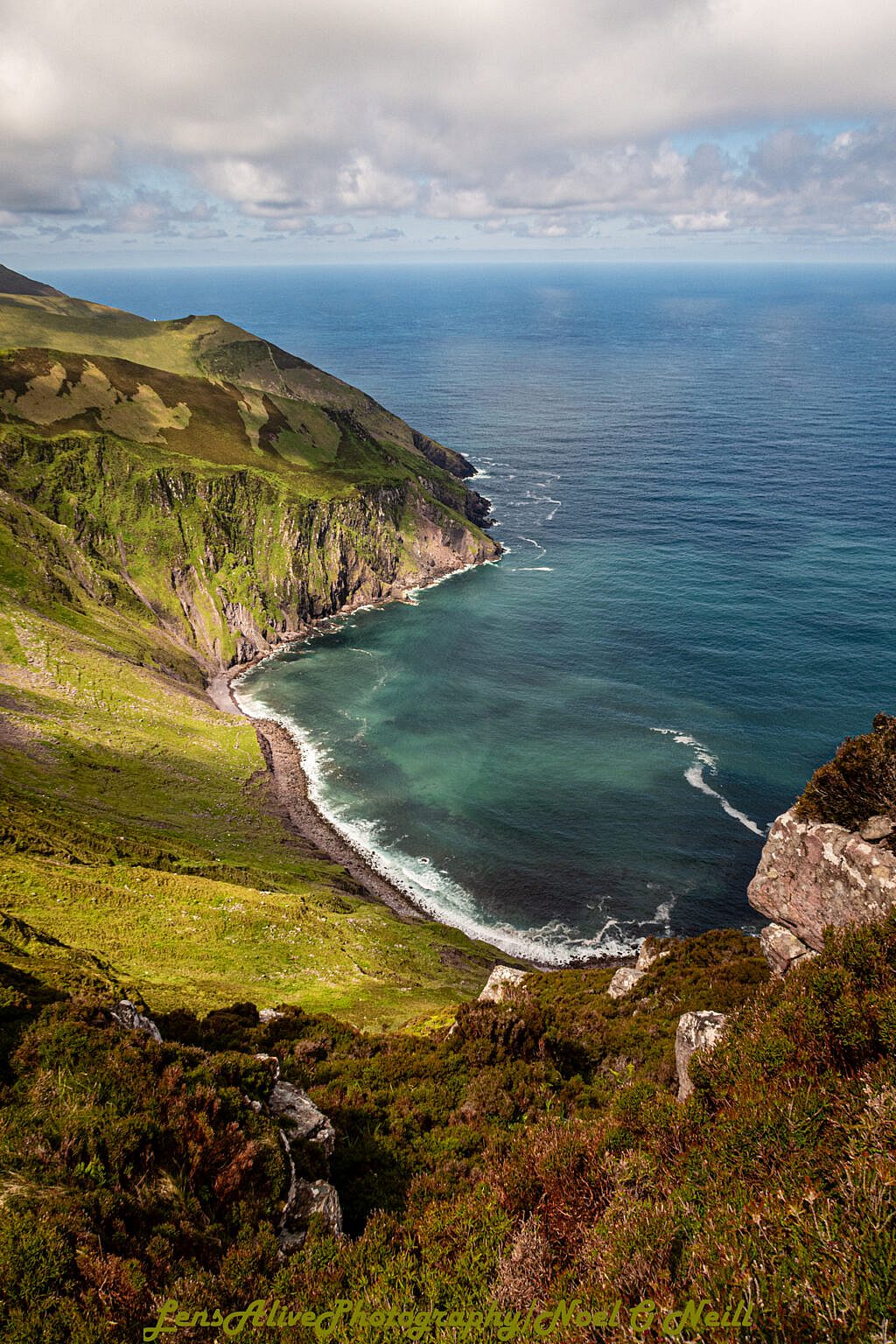
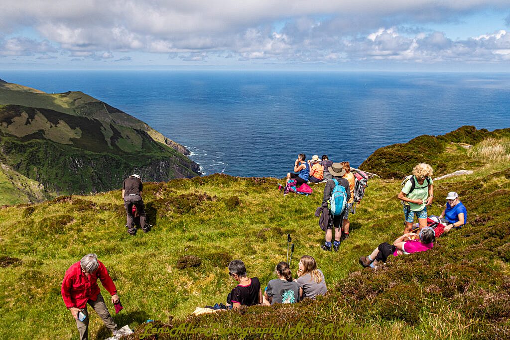
Photos