- Grade: B
- Length: 9 km
- Duration: 5-5.5 hours
- Height gain: 675 m
- Extension Option@Grade
Start Point: @ O.S. Map 70 Q 078 599
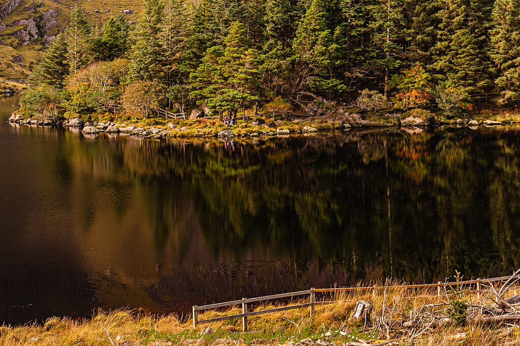
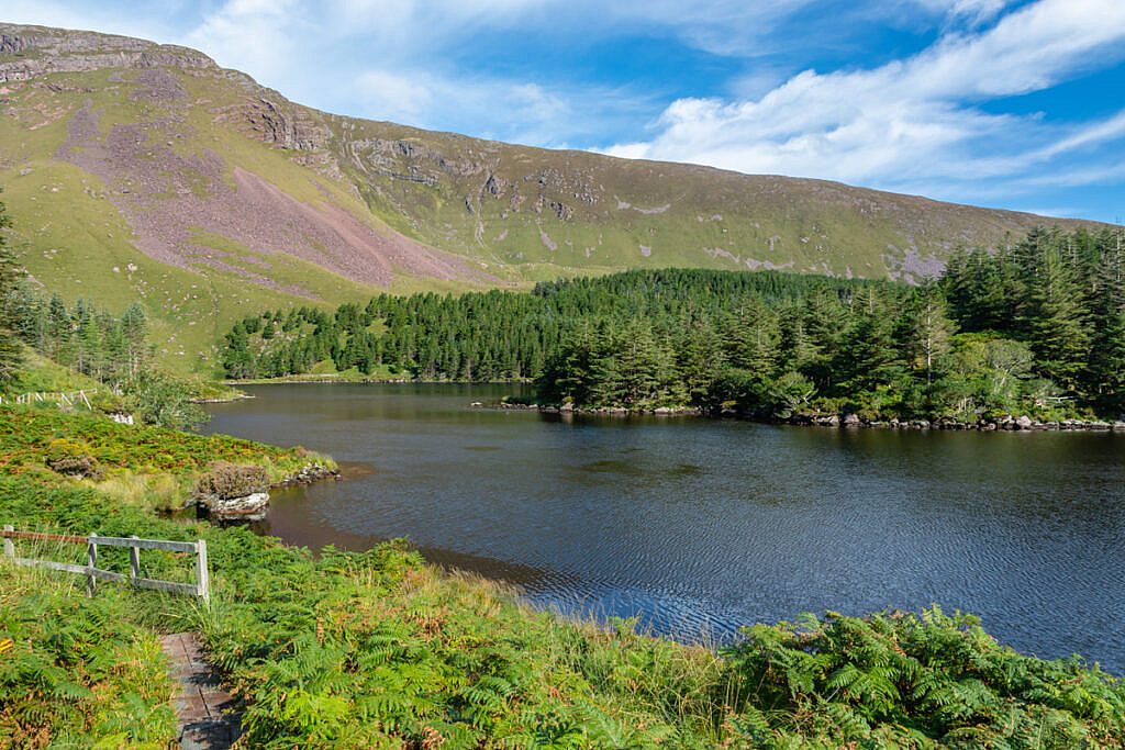
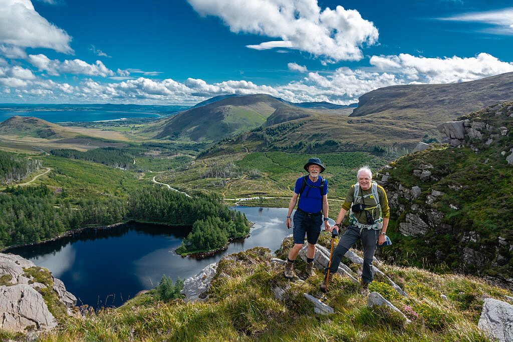
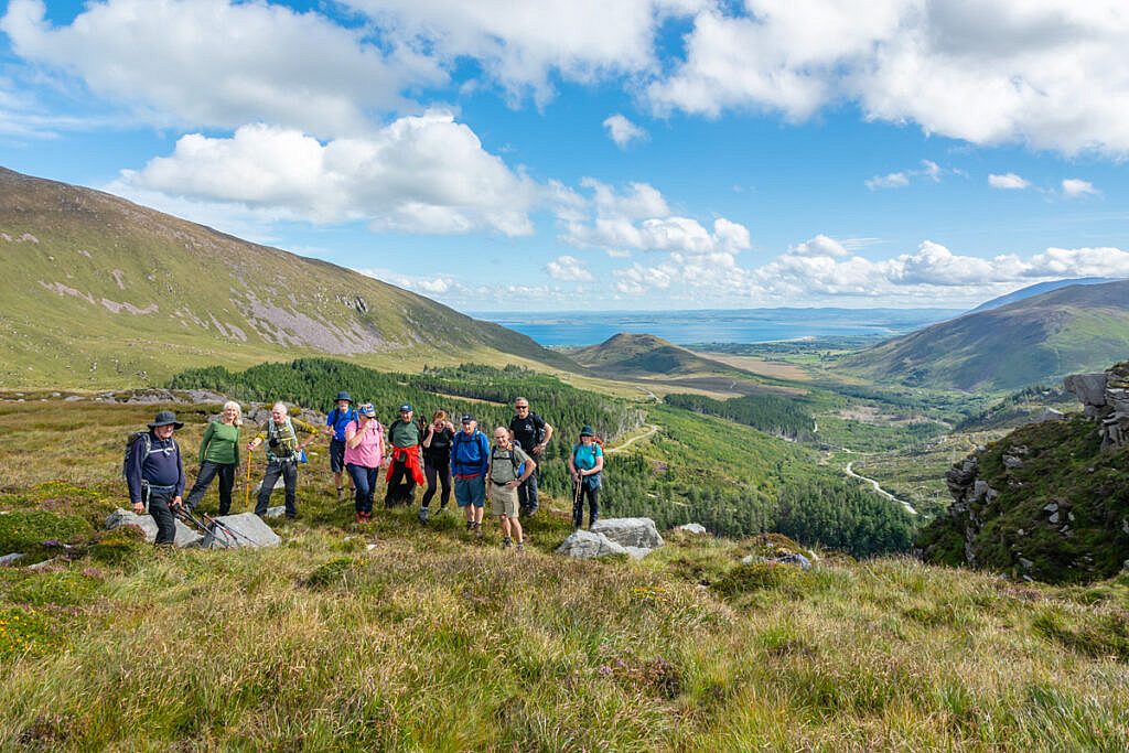
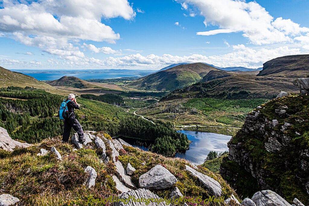
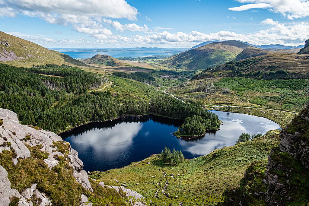
Meeting point: The upper car park at Loch Cam in Glanteeassig Forest.
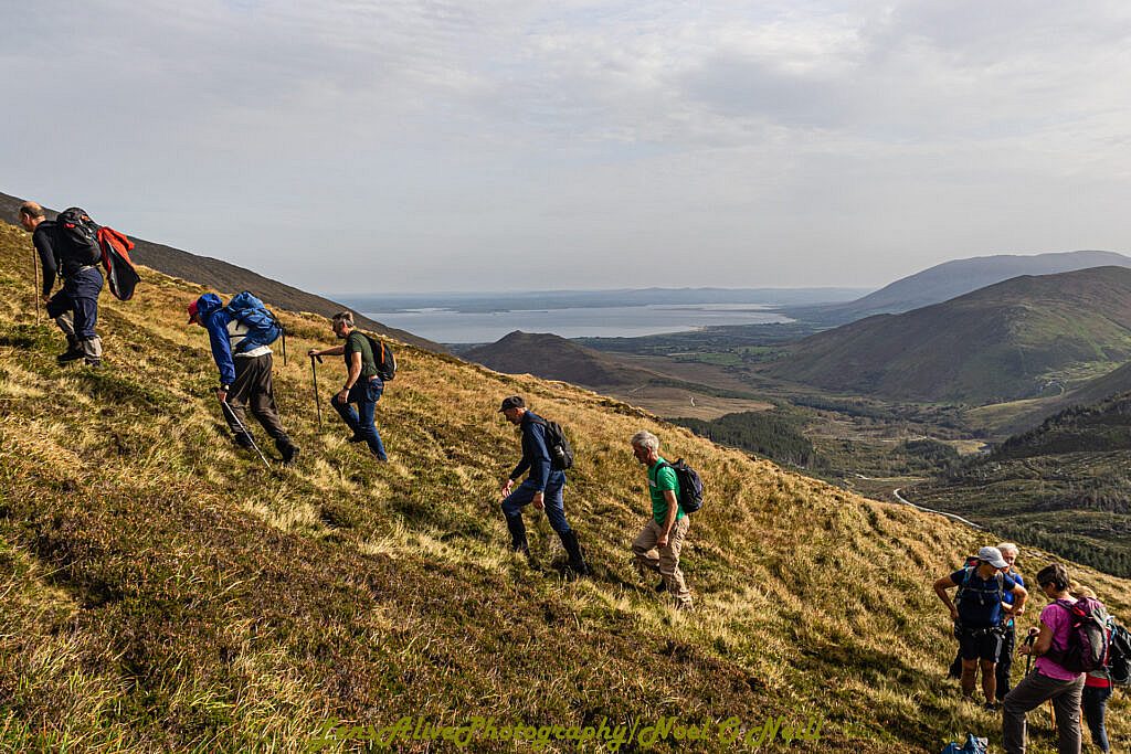
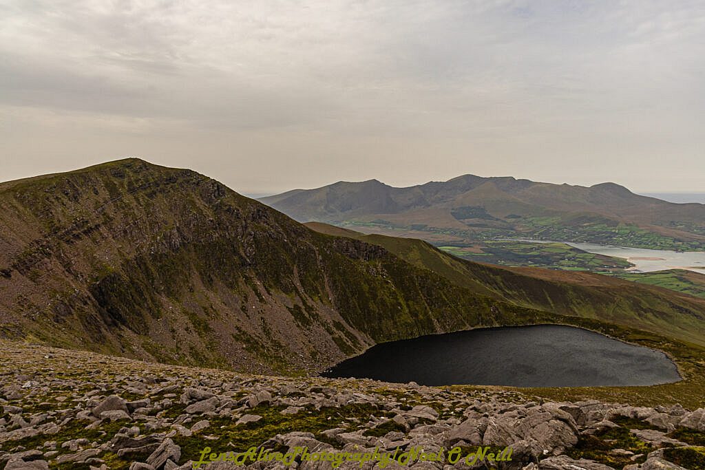
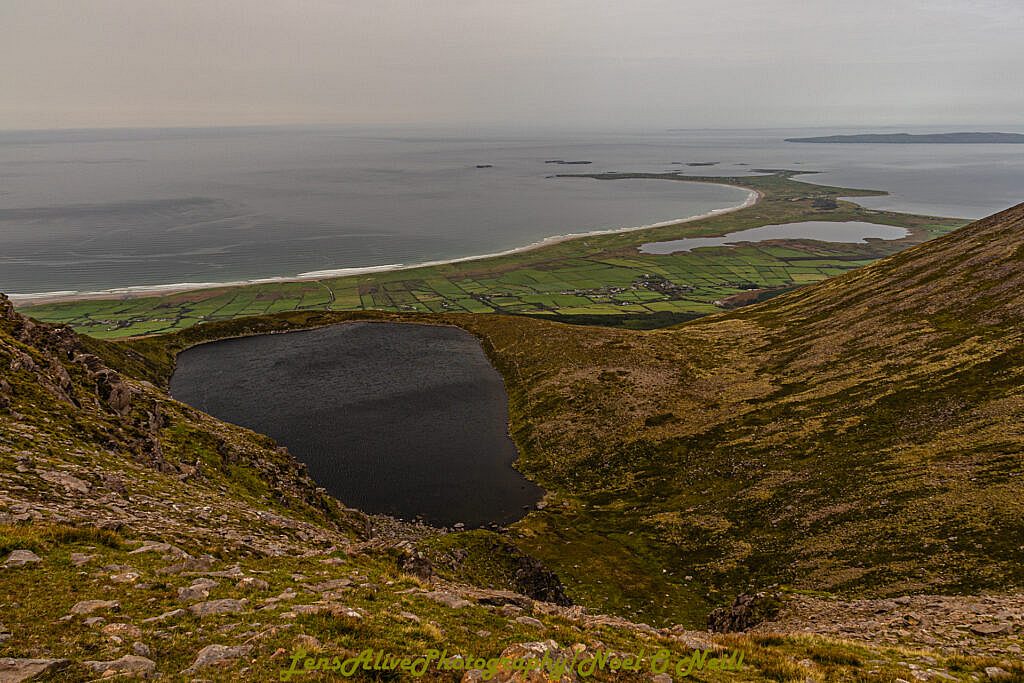
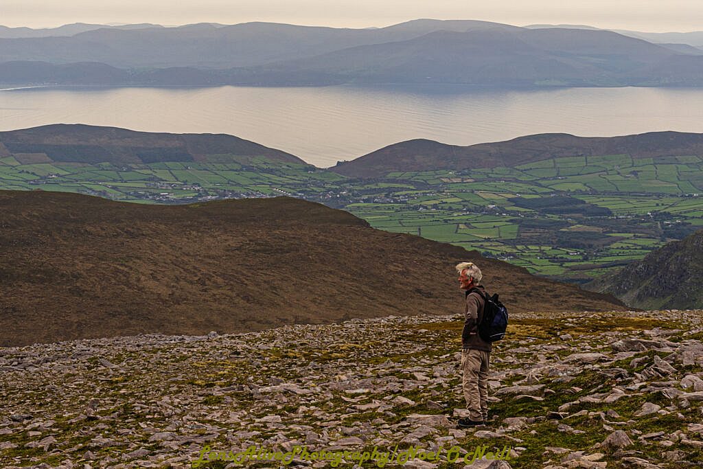
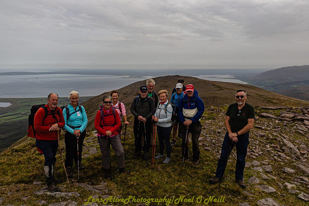
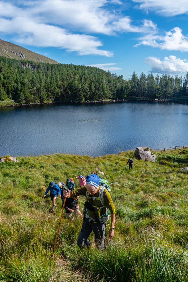
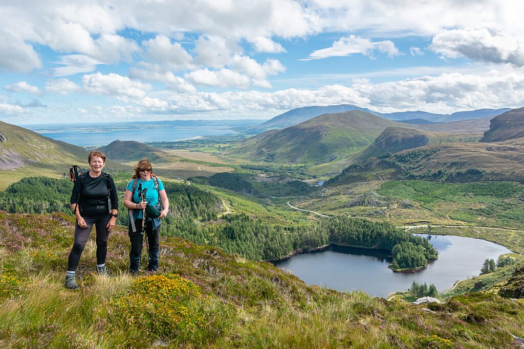
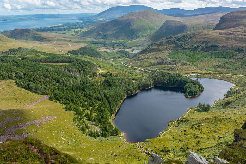
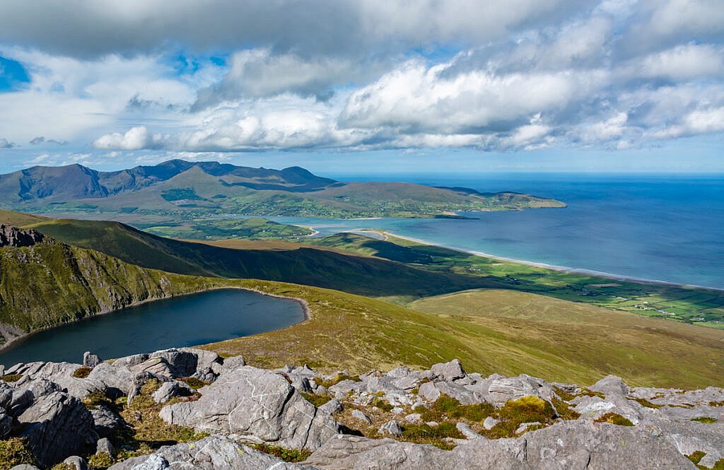
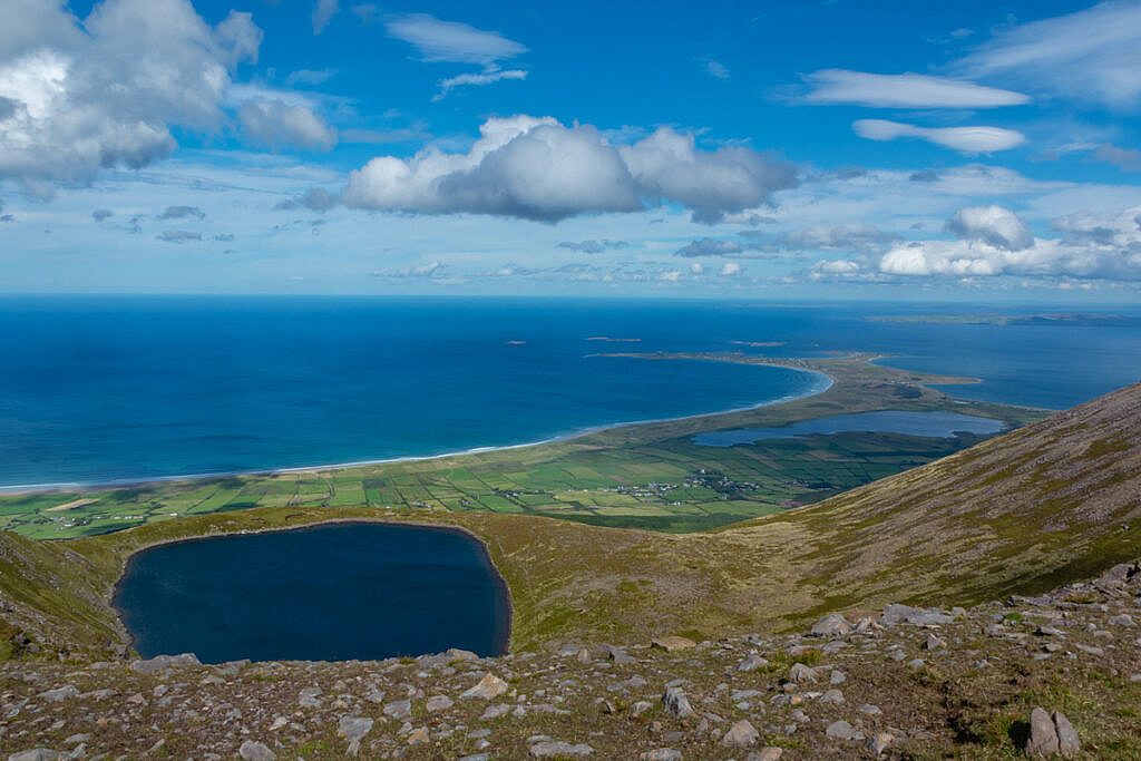
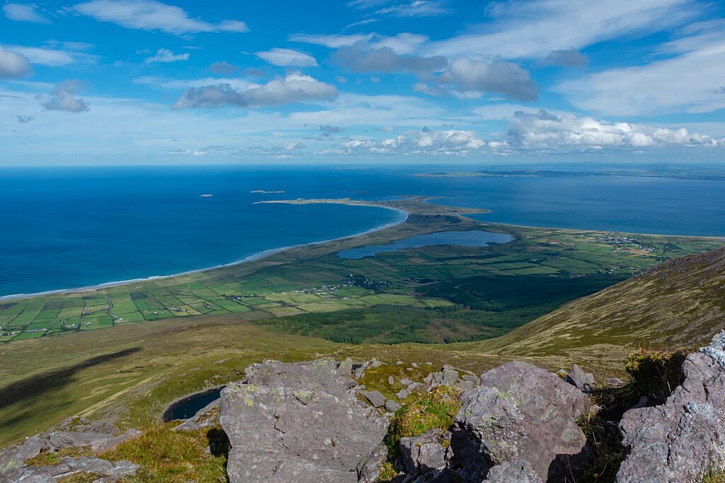
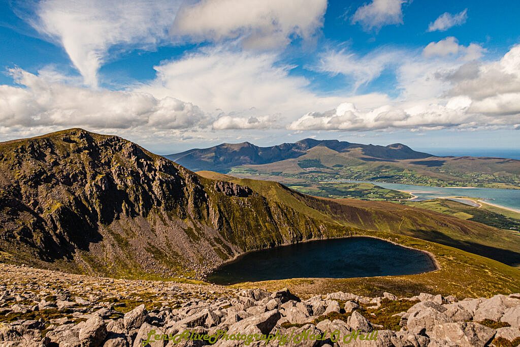
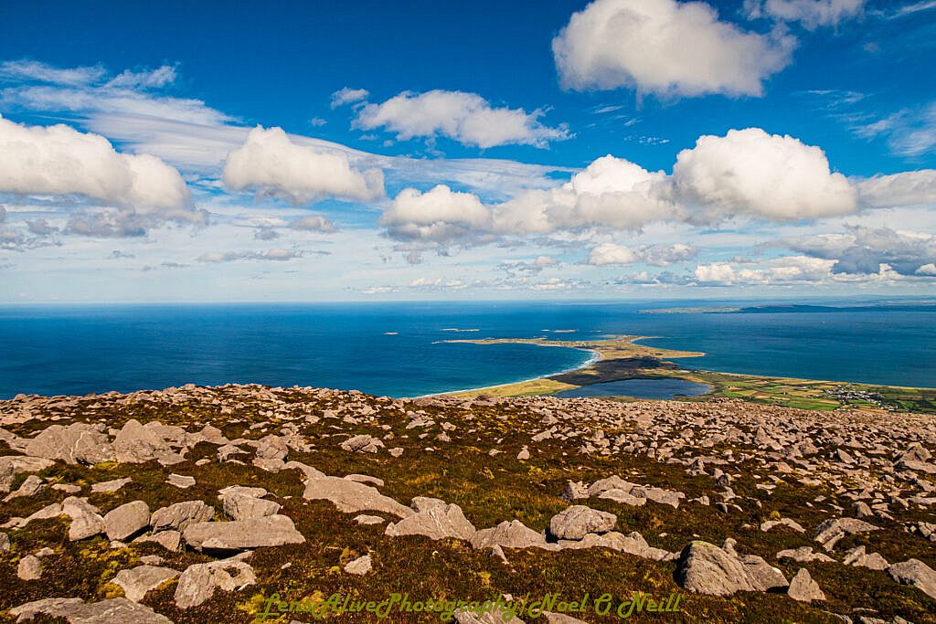
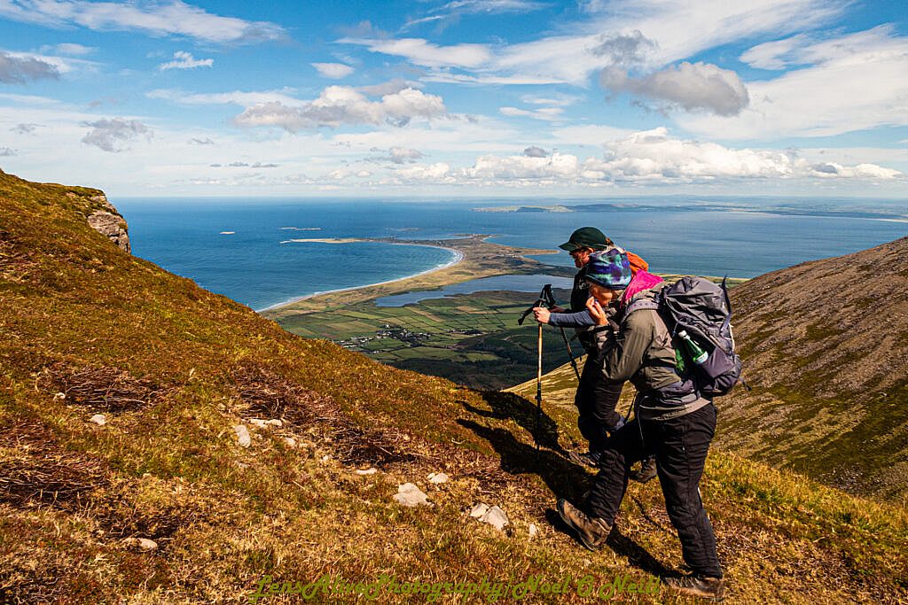
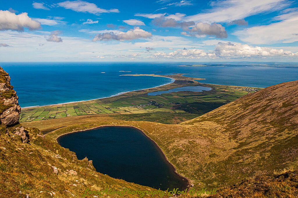
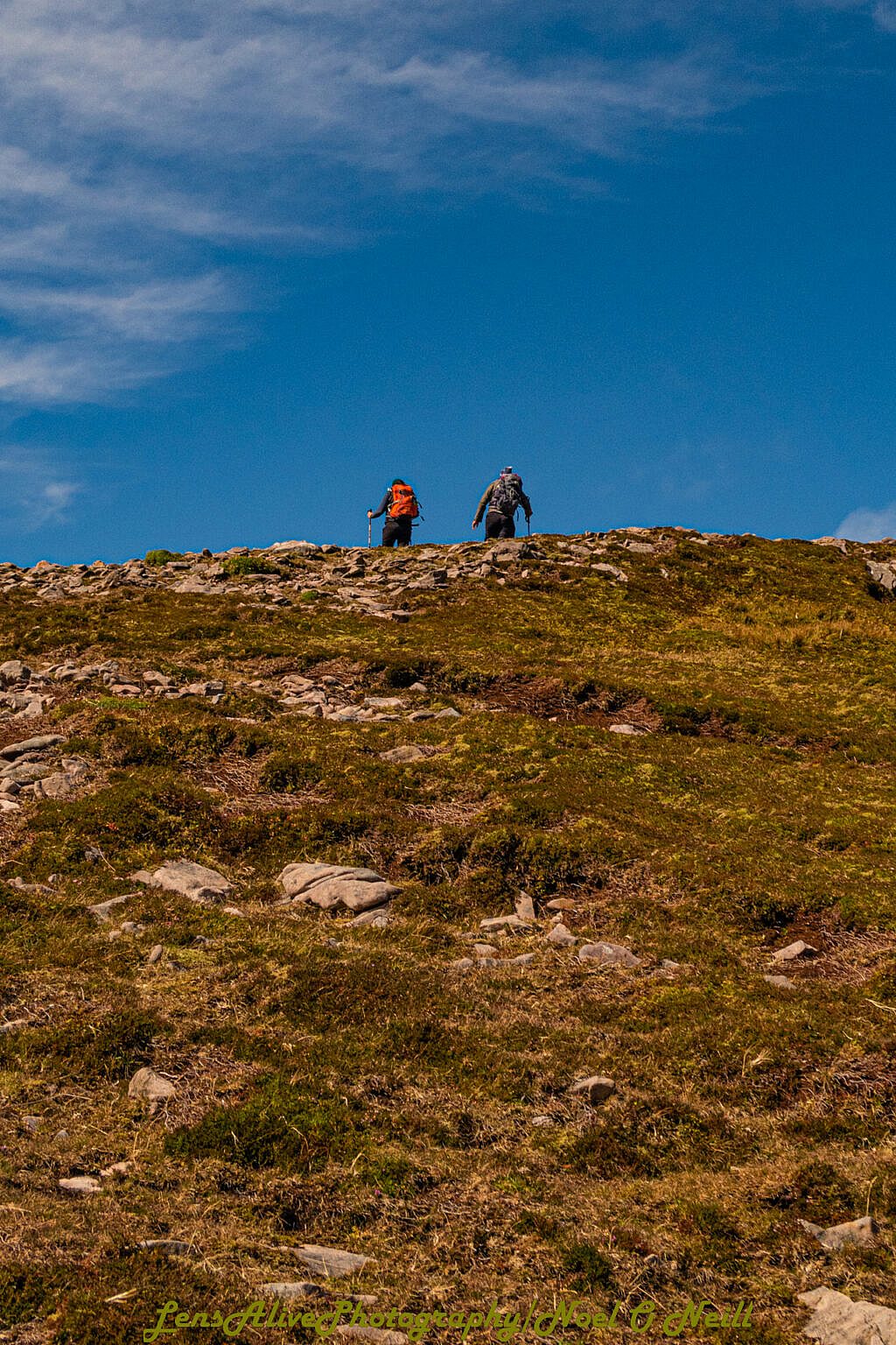
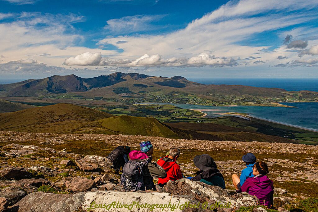
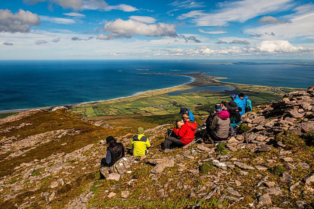
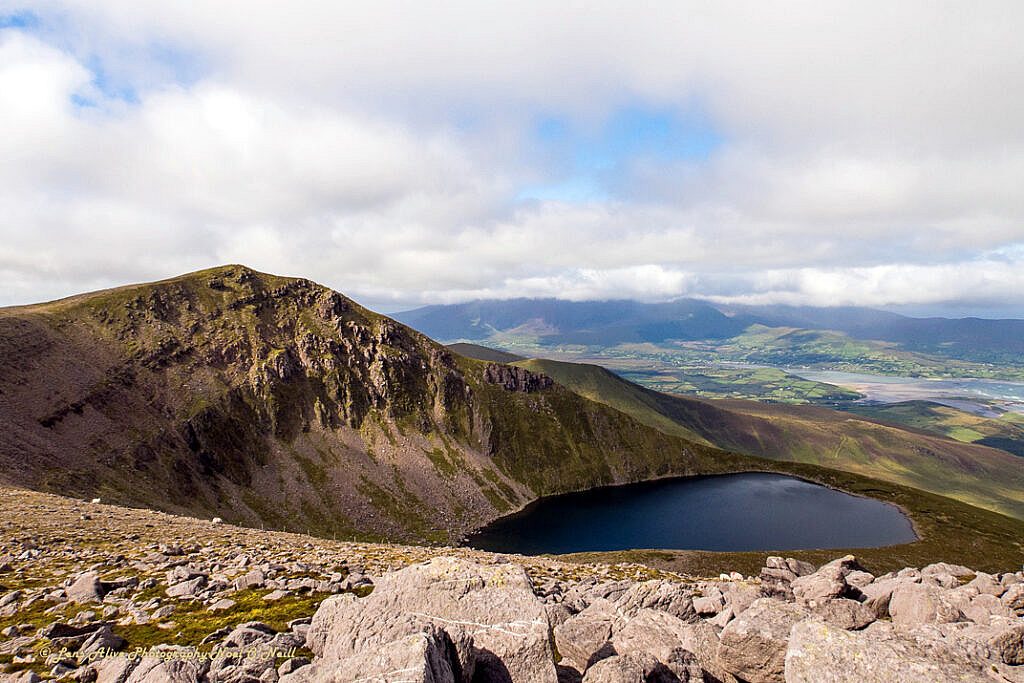
From the car park we follow the boardwalk until we reach the waterfall on the western side of the lake. We follow the course of the waterfall for about 130 meters before reaching the plateau. Keeping the cliffs above Loch Cam on our right our walk continues towards Stradbally Mt at 798 meters. A short descent followed by an 80 meter climb brings us to the summit of Beenoskee at 826 meters. From here we have views to the north over Brandon Bay and Lough Gill. To the south views of Dingle Bay and the Reeks on the Iveragh Peninsula can be had.
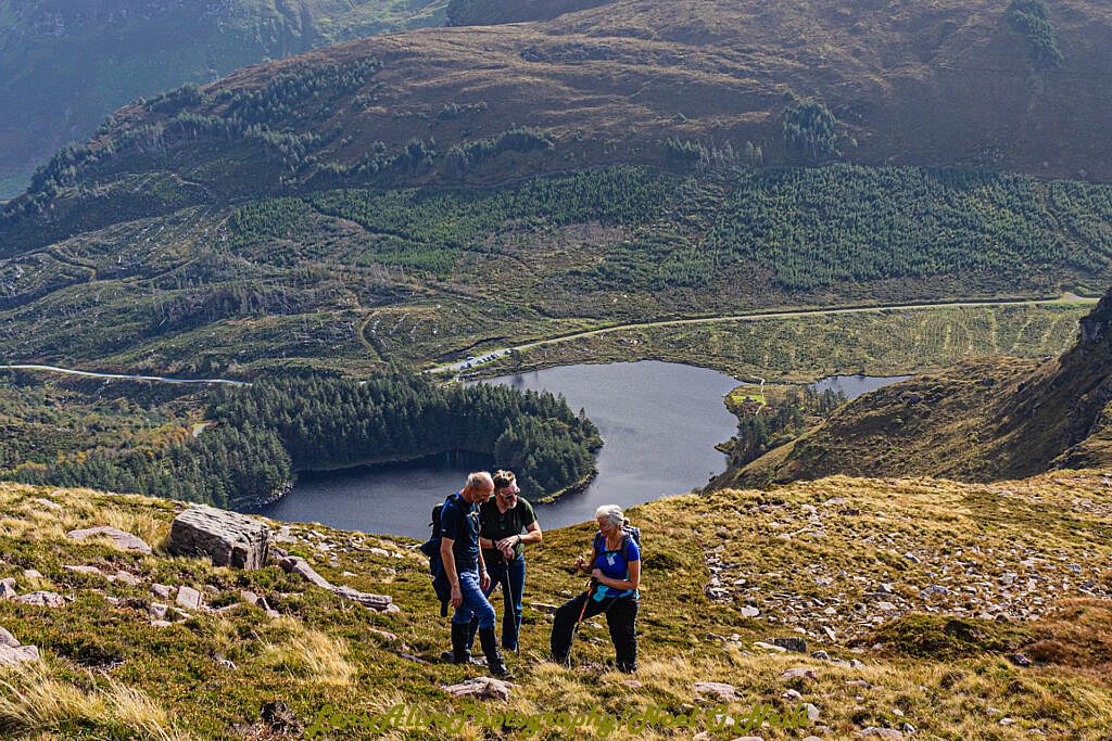
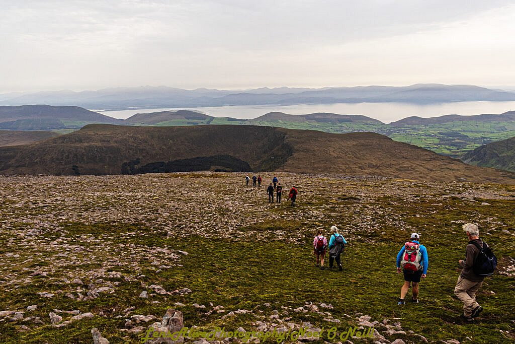
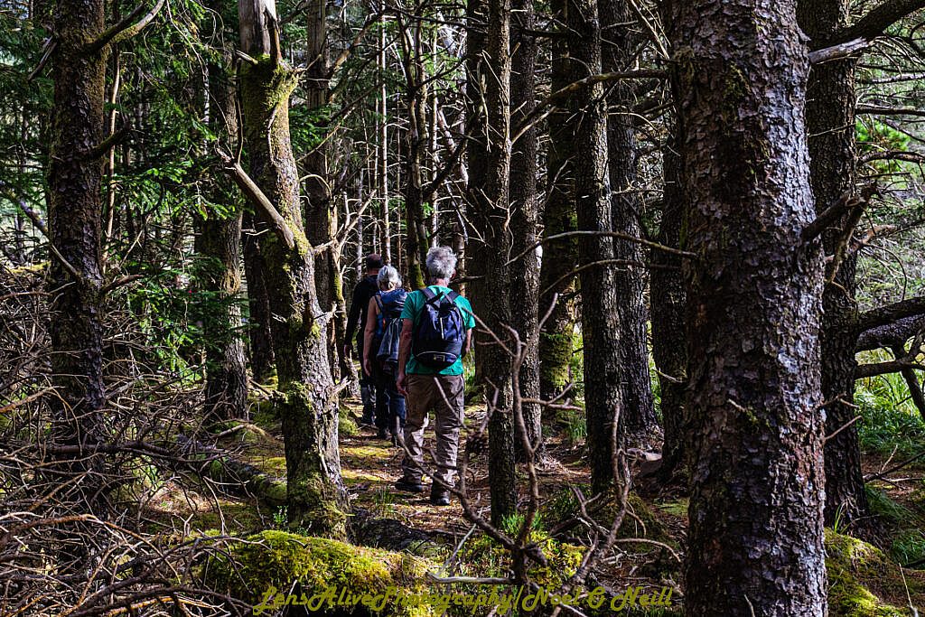
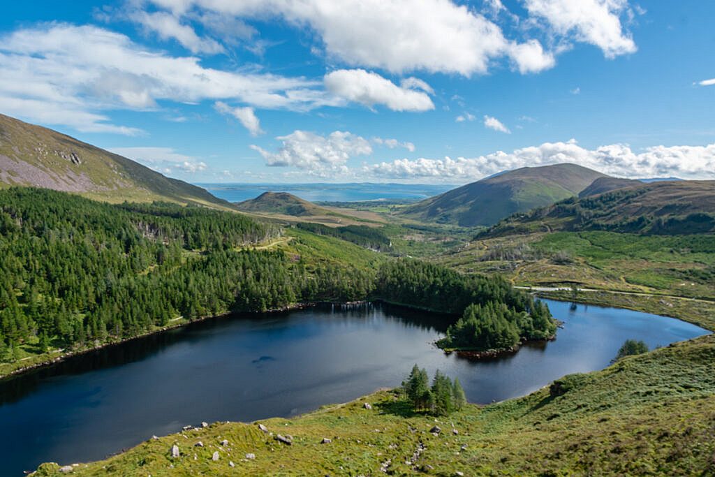
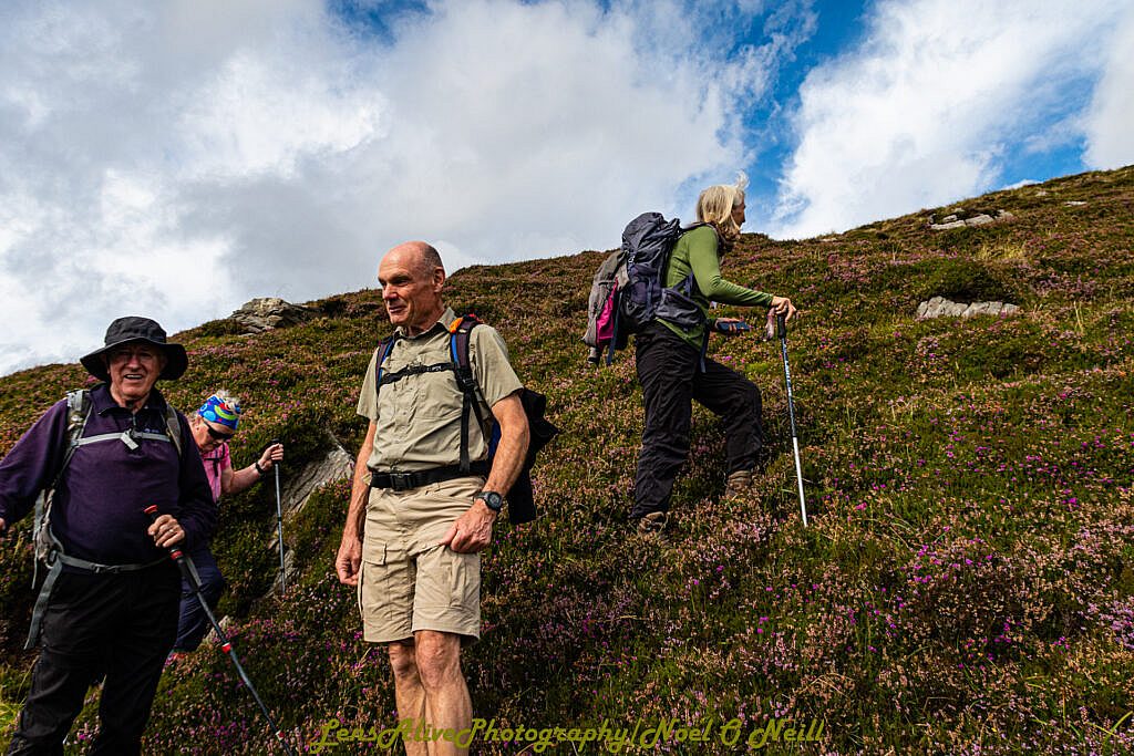
After lunch our descent brings us across the lower slopes of Beenoskee and Stradbally Mountains to return to the Glanteenassig valley via a second waterfall. Keeping to the right hand side of the fall followed by a short trek through some forest before we pick up a forest track that will bring us back to our cars.
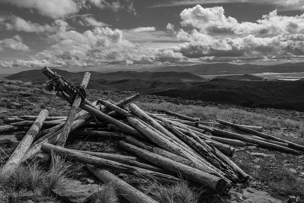
Photos