- Grade: D+
- Length: 9.5 km
- Duration: 3-3.5 hours
- Height gain: 565 m
- Extension Option@
Start Point: Fán @ O.S. Map 70 V 351977 (Meet Stonehouse Restaurant)
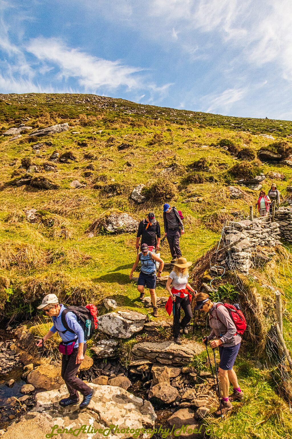
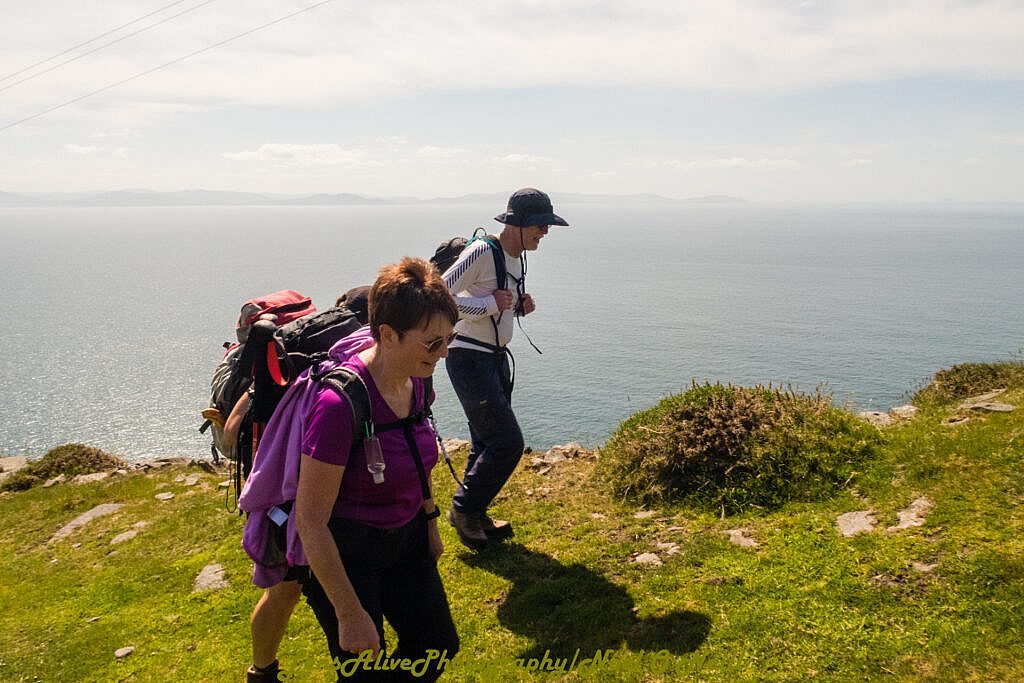
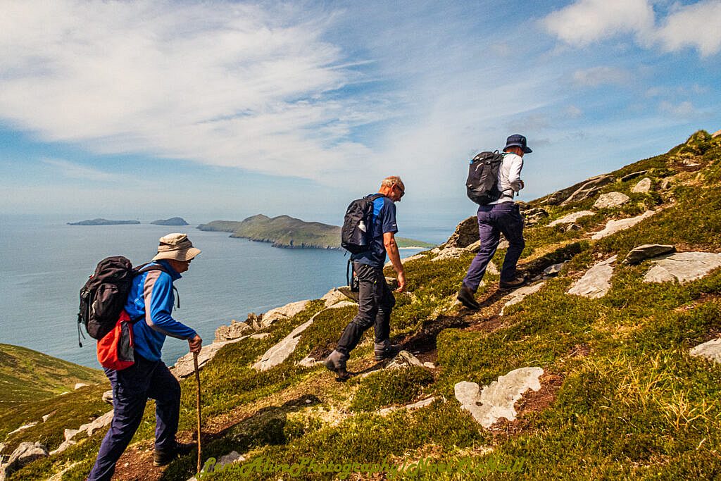
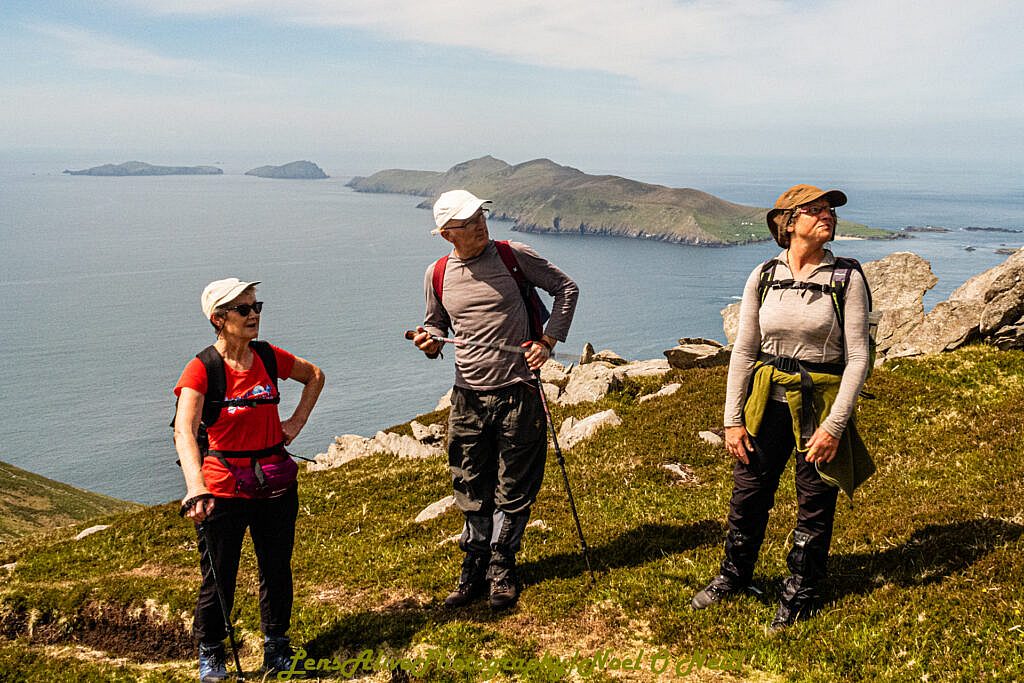
This walk starts on one of the most scenic sections of the Dingle Way heading in a westerly direction for about three kilometres. The lower slopes of the mountain are covered in beehive huts and thick stone walls dating from the early Middle Ages. The huts are sometimes referred to as the Fahan Group of settlements and as we progress views of Slea Head and the Blasket Islands open up in front of us.
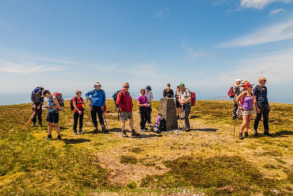
Approaching Slea Head we swing northward on a track that was used to install electricity poles in the 1960s before heading NE keeping a stone wall and fence to our left. We reach a cairn and stone circle at Binn an Choma (424m) before continuing uphill for another 90 meters! The slope gradually eases to peaty moorland and we eventually reach the trig-point of Mount Eagle at 516m.
Having taken time to enjoy the views, we commence our descent following a shoulder SSE from the trig-point. The slope is easy to start with, but becomes steeper lower down and is rough underfoot. However with care it brings us back to the track at Fán and a short walk of about one kilometer returns us to our starting point.
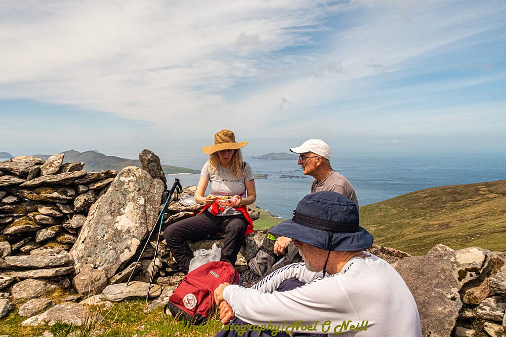
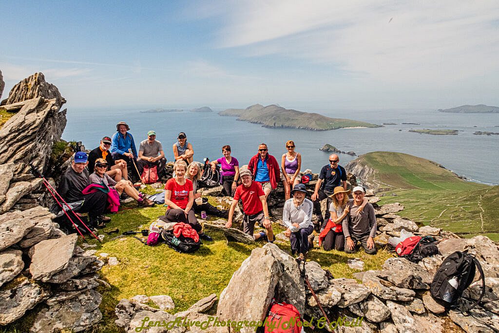
Photos