- Grade: C
- Length: 8.5 km
- Duration: 4.5 hours
- Height gain: 490 m
- Extension Option@n/a
Start Point: Tonevane Loop Walk Car Park@ O.S. Map Q 809 107
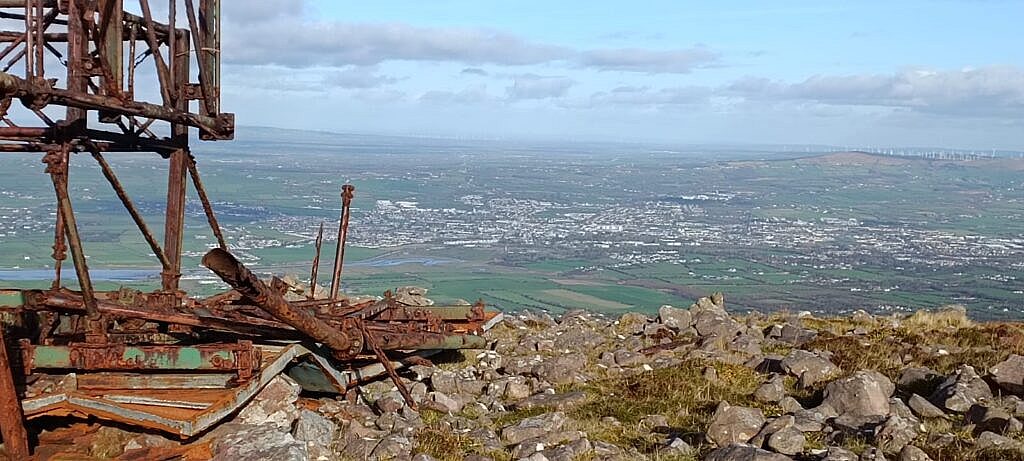
A walk over challenging terrain in the Eastern part of the Slieve Mish Range. After following the Tonavane Loop walk for a short ascent in a clockwise direction the route diverts in a SE direction for 500m following an old paved stone path. We then join a better maintained steeper track for 500m before branching off several times until we reach open more gently sloping heathlands. We now aim for the lowest point in a SSW direction on the Corca Dhuine watershed at 460m asl. The route then leads WNW via Barnanageehy (560m) the high point to Iron Man (549m) where some wind shelter can be found to enjoy magnificent views over Tralee Bay as well as Castlemaine Harbour and beyond. We then descend by continuing along the watershed for a short while before heading more or less directly down to our starting point.
Gaiters are strongly recommended for this walk particularly in wet conditions. A big section is over partially knee high heather where the ground is obstructed and walking poles can be an additional help on the steep descending sections.